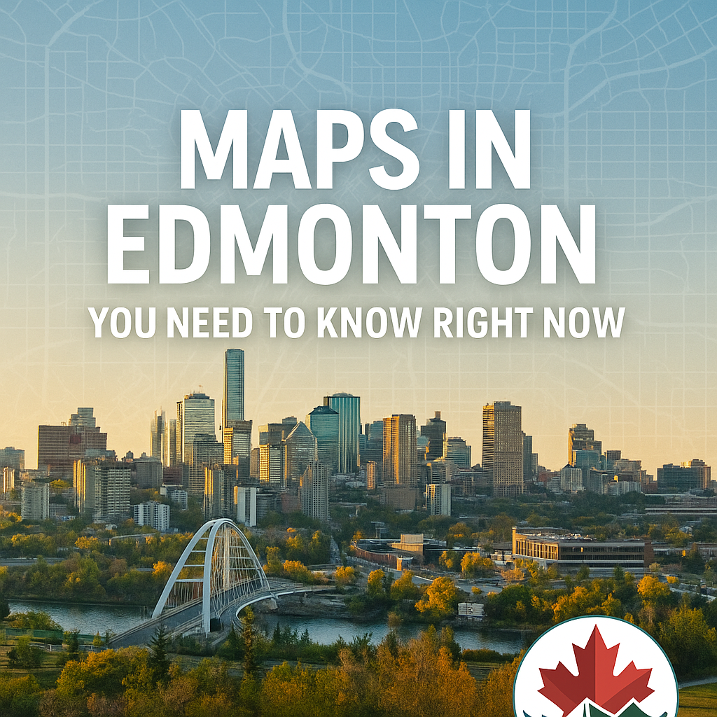
Maps in Edmonton You Need to Know Right Now
October 19, 2024
Posted in Travel Guides & Tips
Introduction
Edmonton is one of Canada’s most unique cities—a mix of urban energy, wide-open prairies, and the stunning North Saskatchewan River Valley. But if you’re new to the city, or even if you’ve lived here for years, having the right map makes exploring much easier.
From navigating downtown streets to finding hidden hiking trails, the right Edmonton map helps you discover the city like a local.
In this guide, we’ll share the most useful maps in Edmonton right now, including driving, transit, bike, and trail maps.
Why You Need Maps in Edmonton
Edmonton covers a huge area—684 square kilometers—and features winding streets, divided highways, and endless trails. A map helps you:
- 🚗 Avoid getting lost on major roadways
- 🚇 Use public transit more effectively
- 🚴 Explore Edmonton’s growing network of bike paths
- 🌲 Find trails in the River Valley
👉 If you’re planning outdoor adventures, check out our guide to Whitemud Park South Trail for one of Edmonton’s best hikes.
1. Edmonton City Map
The official City of Edmonton map shows major neighborhoods, highways, and landmarks. It’s perfect for visitors or anyone learning the city layout.
📍 Download here: City of Edmonton Map
2. Edmonton Transit System (ETS) Map
Edmonton’s LRT and bus network can be confusing if you’re not familiar with it. The ETS map helps riders:
- Find bus routes and stops
- Understand the LRT (Light Rail Transit) lines
- Plan faster trips across the city
👉 Use ETS Live to check real-time schedules.
3. Edmonton Bike Map
Cyclists love Edmonton for its expanding bike lanes and trails. The city provides a dedicated bike map that shows:
- Protected bike lanes
- Shared-use paths
- River Valley routes
Great for both commuters and recreational riders.
4. Edmonton River Valley Trail Map
The North Saskatchewan River Valley is the largest urban park in Canada, with over 160 km of trails. The River Valley trail map highlights:
- Hiking and walking paths
- Biking routes
- Scenic viewpoints
👉 For more hikes, check out our guide on Best Hiking Trails in Alberta for Beginners.
5. Edmonton Attractions Map
Visiting for the first time? An attractions map makes sightseeing simple. It highlights:
- West Edmonton Mall – Canada’s largest mall
- Royal Alberta Museum – Alberta’s cultural showcase
- Muttart Conservatory – Iconic glass pyramids
- Alberta Legislature Grounds – Scenic and historic
6. Winter Road & Parking Maps
Edmonton winters bring snow and ice, which means snow routes and parking bans. The City provides:
- Snow clearing priority maps
- Winter parking ban maps
- Salt and sanding truck locations
These maps are especially useful if you’re driving after a big snowfall.
7. Edmonton Event Maps
During big events like K-Days, Heritage Festival, or Canada Day fireworks, the city shares event maps showing:
- Parking lots
- Transit stops
- Festival grounds
Interactive Maps Online
The City of Edmonton offers an interactive map system where you can:
- Search addresses
- View zoning and property maps
- Explore parks and services
📍 Try it here: Interactive Edmonton Maps
Tips for Using Maps in Edmonton
✔️ Save offline maps on Google Maps before exploring.
✔️ Use City of Edmonton interactive maps for real-time updates.
✔️ For outdoor adventures, carry a printed trail map (signal can drop in some areas).
✔️ Check ETS maps before events—bus routes often change.
FAQs About Edmonton Maps
Where can I find free Edmonton maps?
The City of Edmonton website provides downloadable and interactive maps for free
Is there an Edmonton tourist map?
Yes, many hotels and visitor centers hand out free attraction maps.
Does Google Maps work well in Edmonton?
Yes, but for winter road closures or construction, the City’s interactive maps are more accurate.
Conclusion
Whether you’re driving, cycling, hiking, or taking transit, the right map of Edmonton helps you explore confidently. From downtown streets to River Valley trails, Edmonton’s maps guide you to everything the city has to offer.
So, before your next adventure, make sure you have the right map—it’s the easiest way to enjoy Edmonton like a local.
Author

WRITTEN BY
Go Explore CanadaGo Explore Canada is a travel blog sharing simple tips, scenic places, and hidden gems across the country. Focused on budget-friendly adventures, Go Explore Canada helps readers explore more and stress less — one trip at a time.
Related Posts


About
Welcome to GoExploreCanada.blog, your go-to guide for exploring Canada. Discover tips, travel guides, and stories about the breathtaking landscapes, vibrant culture, and delicious cuisine from coast to coast. Join us on an adventure to uncover the hidden gems of Canada!
FACEBOOK
RECENT POST

ADVERTISEMENT

“Canada Is My Therapy” Hiking & Camping Shirt – Explore. Camp. Breathe.
Price range: $20.50 through $34.00
NEWSLETTER
Join the Go Explore Canada Newsletter